🚗 The Early Departure
At five in the morning, Lansing was still half-asleep.
Streetlights glowed dimly on empty roads, and the air carried a faint chill mixed with the smell of gasoline.
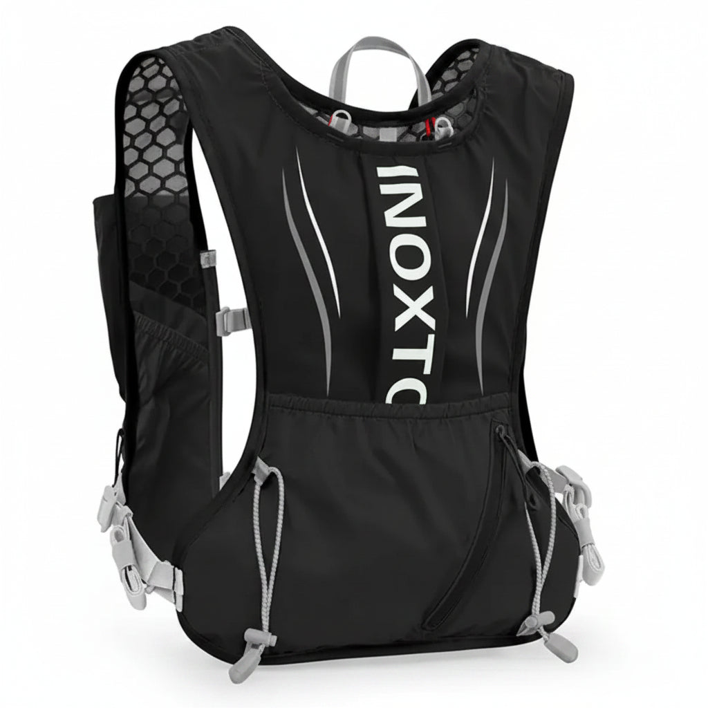
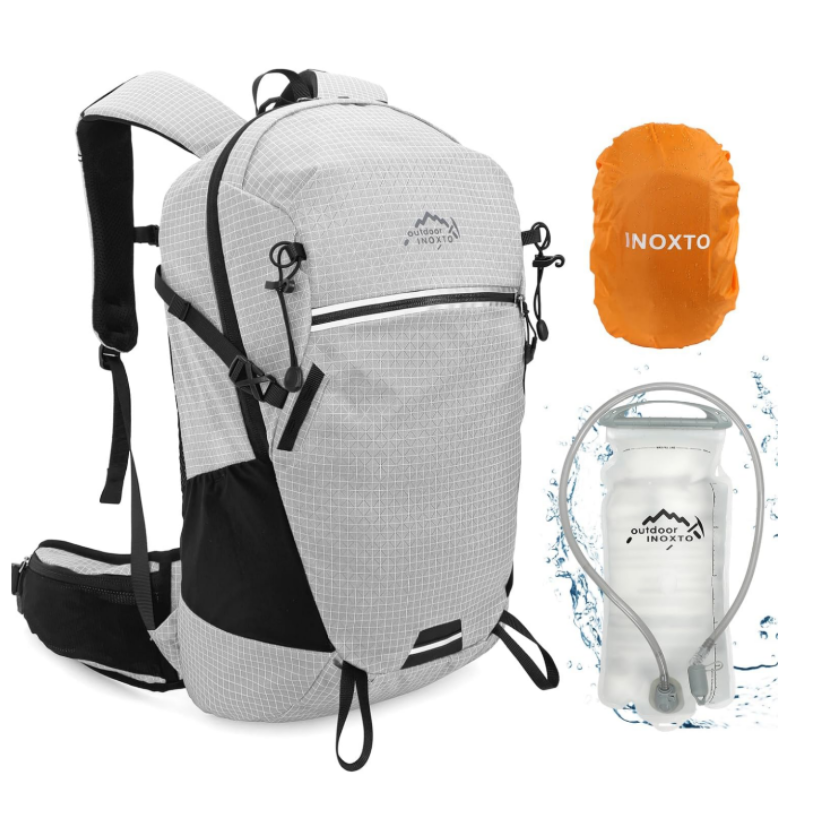
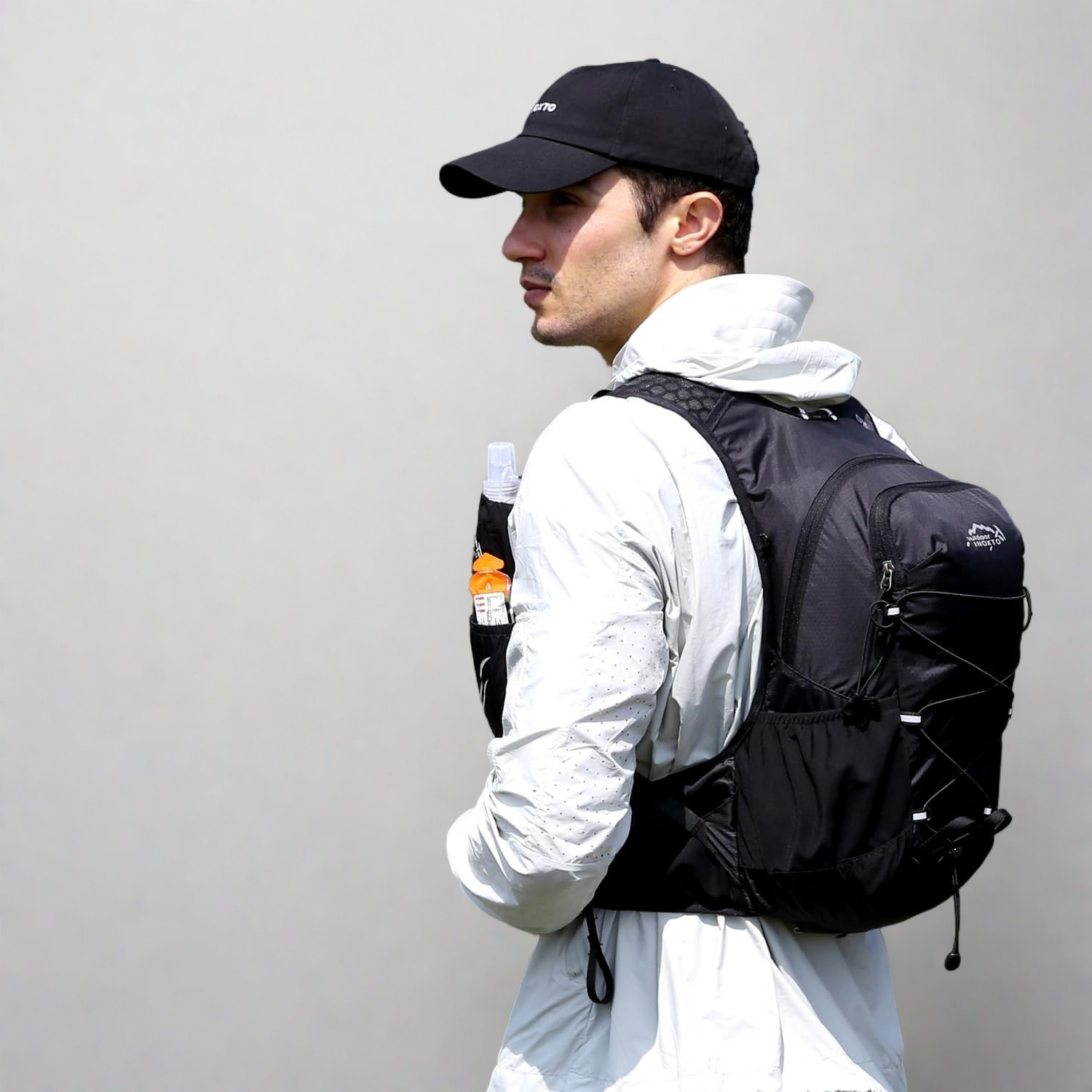
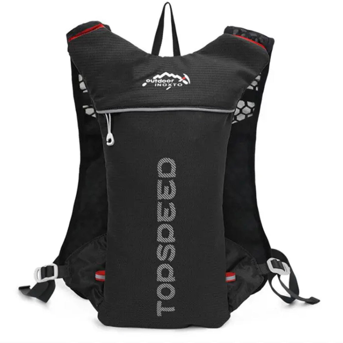
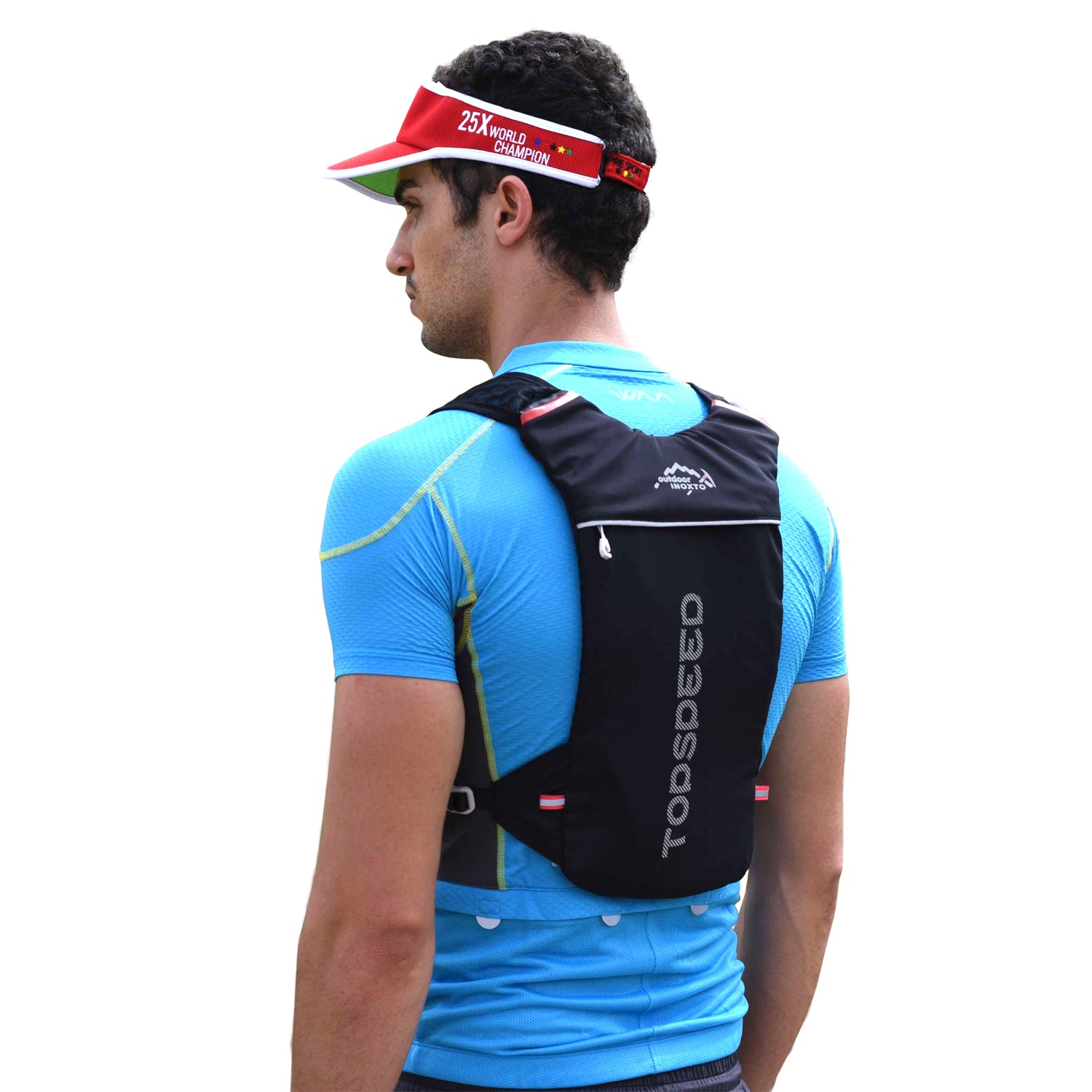
We loaded the car — INOXTO 790 running vests, hydration bladders, trekking poles, tripods, and a thermos of coffee that steamed in the cold air.
“Ready?”
“Let’s go.”
The engine came to life, breaking the silence.
As we rolled past a diner whose kitchen lights were just flicking on, someone inside was flipping pancakes —
and we were already heading north.
The route was simple: US-127 North, the highway that cuts through Michigan’s heartland.
Mist hung low over the cornfields, silver in the first light.
For a while, no one spoke.
That kind of quiet usually means a good trip has begun.
By the time we passed Mount Pleasant, the land had begun to shift —
pines thickened, lakes appeared between the trees,
and the air felt sharper, cleaner, alive.

🌲 North of the Forest Line
At 70 miles per hour, the city was long gone.
The world turned into pine and sky.
The farther north we went, the more the air smelled of sap and earth.
We stopped at a roadside coffee cabin near Mount Pleasant.
The owner, wearing a “Pure Michigan” cap, handed us blueberry muffins still warm from the oven.
The berries burst sweetly against the bitter coffee — the kind of small joy that defines a road trip morning.
After another hour, we reached Grayling, where the Au Sable River runs cold and clear through dense woods.
We pulled over, strapped on our INOXTO vests, and took a short run along a narrow trail leading to the riverbank.
The water caught the light like moving glass.
The packs stayed firm against our backs — light, steady, almost weightless.
Each step over pine needles felt rhythmic, like breathing in sync with the forest.

🍒 The Taste of Traverse City
By noon we rolled into Traverse City, the Cherry Capital of the World.
Even the air smelled faintly sweet.
Red-brick buildings lined Front Street, with bookstores, cafés, and a shop called Cherry Republic overflowing with jams and candies.
We grabbed sandwiches and a bottle of local cherry soda from a bakery,
then ate lunch by the wooden pier.
Waves lapped gently below; sunlight sparkled across Grand Traverse Bay.
The mix of lake breeze and fruit sweetness made time slow down.
After lunch, we pointed the car west toward Sleeping Bear Dunes National Lakeshore,

🏖️ Sleeping Bear Dunes
The dunes rose before us — immense slopes of golden sand glowing under the midday sun.
We kicked off our shoes and began the climb.
Each step sank deep; the sand burned a little underfoot.
Wind roared in our ears, scattering grains like sparks.
At the summit, the view opened wide:
Lake Michigan, stretching to the horizon in layers of blue and silver.
Below, the dune dropped nearly 450 feet straight to the lake.
For a moment, it felt like standing at the edge of another world.
Someone whispered, “This looks like another planet.”
Everyone smiled — because it did.

🌅 Evenings Along the Bay
We continued north along M-22, a road often called one of America’s most beautiful scenic drives.
It curved through orchards and pine woods, past harbors where white sailboats rocked on still water.
In Glen Arbor, we stopped for homemade cherry ice cream — sugar, cream, and lake air all blending together.
By dusk, we reached Petoskey.
The bay was calm, the sky painted orange.
We wandered the shoreline searching for Petoskey stones — smooth, hexagonal fossils found only here.
The water was icy, but no one cared.
Dinner was at a small diner on the main street — whitefish tacos, coffee in chipped mugs,
the kind of meal that warms you after a day in the wind.
🌉 The Bridge North
The next morning the clouds hung low and gray.
We drove toward the Mackinac Bridge, the five-mile span linking Michigan’s lower and upper peninsulas —
a true Gateway to the North.
Crossing it always feels symbolic,
like stepping from the familiar into the wild.
Halfway across, we stopped at the viewing area.
Below, Lake Michigan met Lake Huron —
two shades of blue merging into one vast horizon.
Wind whipped through the guard rails, and for a moment everyone fell silent.
Only the sound of water and steel.
That kind of silence says everything.
🎒 The Road and the Gear
The drive back to Lansing was quieter.
Each of us carried the same calm fatigue that follows a good trip.
Outside, the first red leaves drifted across the highway like slow-motion sparks.
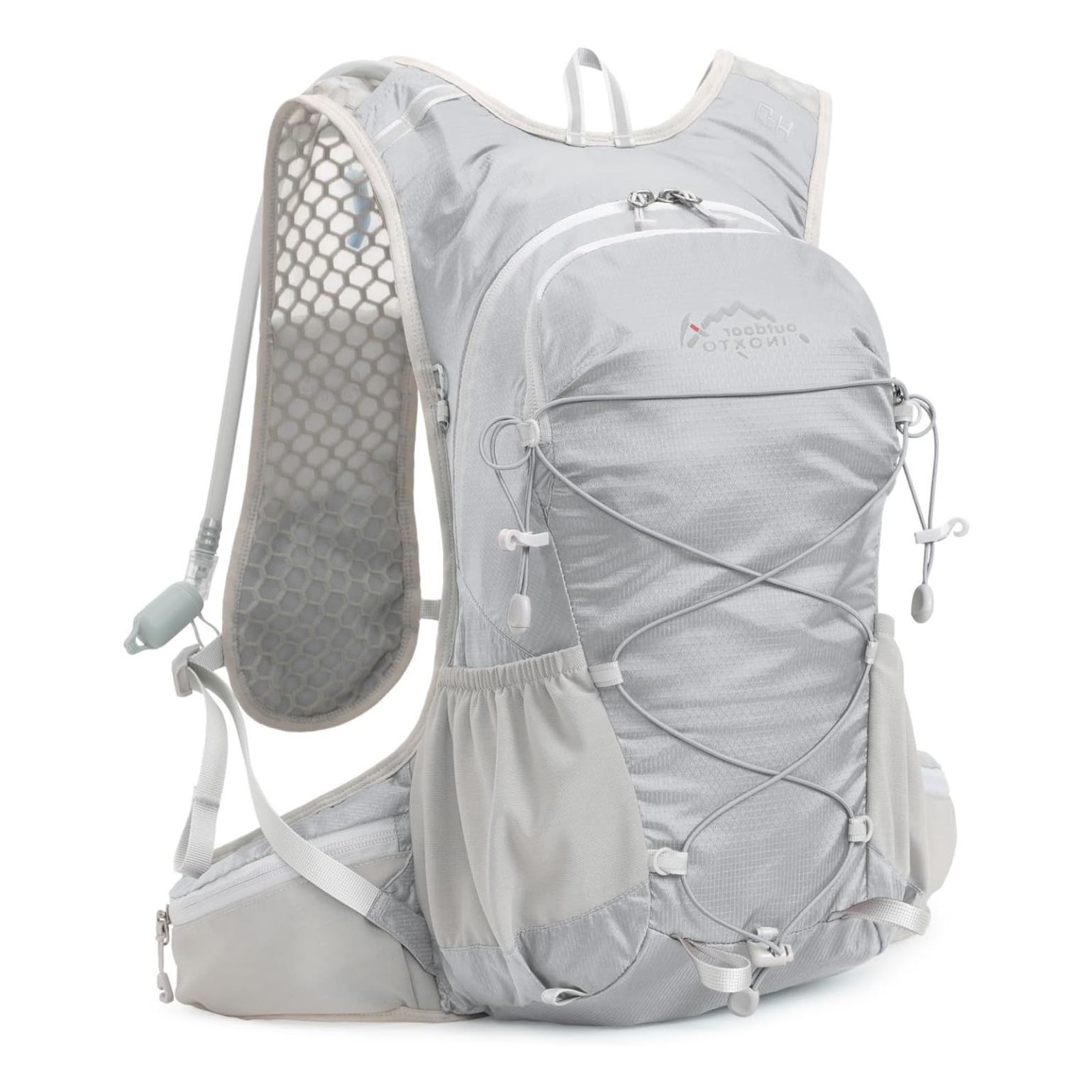
We talked about product notes —
how the new INOXTO shoulder straps balanced weight better,
how the hydration hose no longer shifted during long runs.
Every mile reminded us why we build what we build —
gear that moves with you, not against you;
gear that turns distance into freedom.
We don’t just make backpacks.
We make gear for those who keep moving toward the horizon.
🗺️ Route Overview
Total Distance: ≈ 340–380 miles (550–610 km) depending on stops.
Direct Route: Lansing → Grayling → I-75 → Mackinac Bridge ≈ 234 miles / 3 h 45 min.
Extended Scenic Route: Lansing → Mount Pleasant → Grayling → Traverse City → Sleeping Bear Dunes → M-22 → Petoskey → Mackinac Bridge.
Best Season: June–October (peak foliage in September).
Recommended Stops:
-
☕ Mount Pleasant — roadside coffee cabin & blueberry muffins.
-
🌲 Au Sable River — trail run through pines.
-
🍒 Traverse City — cherry bakery & lakeside lunch.
-
🏖️ Sleeping Bear Dunes — 450-foot sand climb over Lake Michigan.
-
🌅 Petoskey — beach at sunset & fossil hunting.
-
🌉 Mackinac Bridge — panoramic viewpoint between two Great Lakes.